")
SNOW, WINDS PROMP MNRF WATER WARNING
PARRY SOUND-MUSKOKA — An overnight snow dump has the MNRF warning about rising water levels and dangers around melting ice.
This morning, April 15, it issued a “Watershed Conditions Statement – Water Safety” advisory.
It indicates high flows, melting ice or other factors could be dangerous for such users as boaters, anglers and swimmers but flooding is not expected.
With cool temperatures, banks and shorelines adjacent to water bodies are extremely slippery and unstable.
Residents and visitors should exercise caution while around water bodies and maintain close supervision of children and pets.
The release comes from the Parry Sound District of Ministry of Natural Resources and Forestry.
It says residents within the Parry Sound-Muskoka area on Georgian Bay should keep a close watch on conditions, regularly check for updated messages and exercise caution around the shoreline as water levels are expected to remain high through the coming weeks and months.
Any storm surge and waves from wind and storm events are expected to worsen shoreline conditions as those events occur.
They say that heightened risks, while water levels remain at or above their current level, include shoreline flooding, beach submersion, crawl space and septic system inundation, and wave-driven erosion along some reaches of the shoreline. Residents may wish to consider taking action to ensure their sump pumps are working properly and to secure or protect any property in flood-prone or vulnerable areas.
The ministry is closely monitoring the weather and developing watershed conditions. Further updates will be issued as appropriate.
TECHNICAL INFORMATION
Description of Weather System
Any storm surge or high wave events may increase the current, high water level along the Georgian Bay shoreline within Parry Sound District. Please continue to monitor the local
weather with special attention to wind and wave forecasts to anticipate additional impacts from the storm surge and high waves.
Description of Current Conditions
The National Hydrological Services Great Lakes Water Levels Memorandum from April 3rd and the Weekly Water Level Update from April 14th, 2020 report:
- Water levels of all the Great Lakes remain near or above record highs.
- Lake Michigan-Huron’s mean level was 94 cm above average last month, the highest March mean level on record and 10 cm above the previous record high of 1986.
- Lake Michigan-Huron rose 6 cm in March, close to its typical rise of 5 cm.
- Lake Michigan-Huron’s beginning-of-April level was 95 cm above average, 40 cm higher than last year, the highest on record and 10 cm higher than the previous record high set in 1986.
Forecasts by the National Hydrologic Services indicate that Lake Huron / Georgian Bay’s level will likely exceed historical monthly mean water levels for at least the next 4 months, and could reach or surpass the maximum recorded monthly mean water level from 1986.
DEFINITIONS
- WATERSHED CONDITIONS STATEMENT – WATER SAFETY: indicates that high flows, melting ice or other factors could be dangerous for such users as boaters, anglers and swimmers but flooding is not expected.
- WATERSHED CONDITIONS STATEMENT – FLOOD OUTLOOK: gives early notice of the potential for flooding based on weather forecasts calling for heavy rain, snow melt, high winds or other conditions
- FLOOD WATCH: potential for flooding exists within specific watercourses and municipalities
- FLOOD WARNING: flooding is imminent or occurring within specific watercourses and municipalities.
LEARN MORE
- Surface Water Monitoring Centre public webpage www.ontario.ca/flooding
- Environment Canada bulletins: www. weather.gc.ca
- A close watch on local conditions and weather forecasts from Environment Canada is recommended.
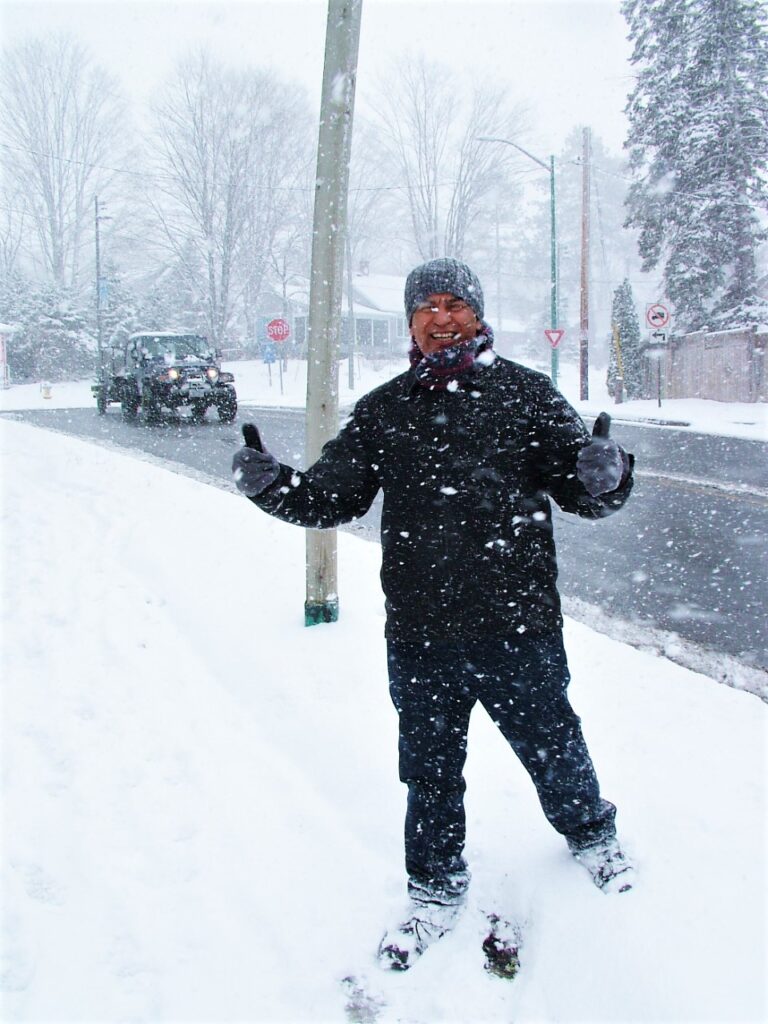
Bill Ramirez gives thumbs up to today’s return to winter as he goes for a walk in Gravenhurst near the Muskoka Wharf where the MNRF is urging residents to be cautious around water.
