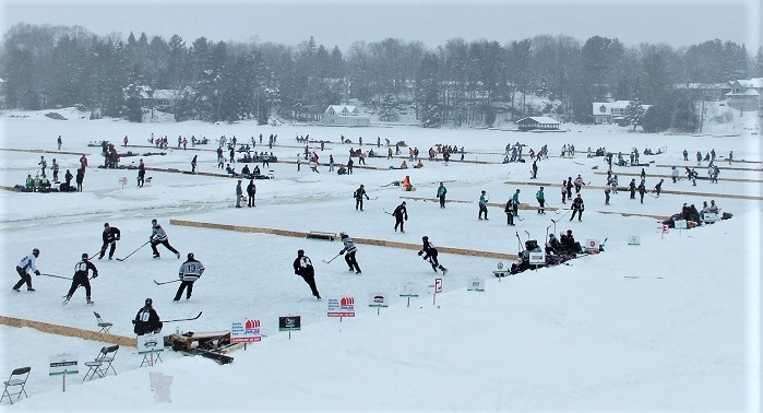
End of March weather was correct
MUSKOKA — Who says weather forecasters are always right half the time?

Geoff Coulson, warning preparedness meteorologist at Environment and Climate Change Canada got it bang on in his latest bulletin.
He said seasonal to somewhat warmer-than-seasonal temperatures were expected for much of the province in March.
He said: “In regard to precipitation, conditions are expected to be somewhat drier than normal for the first half of the month in most areas except in northwestern Ontario where more precipitation than normal is expected. There is no strong trend with respect to precipitation during the second half of the month.”
With less than a wee to go — and no snow or rain in his forecast — he was right early on and wrong now.
As for February, the monthly mean temperature anomaly map displays temperatures colder-than-normal in northern Ontario and warmer-than-normal in the South.
On a day-to-day basis, the first half of February was cold across the province, with daily anomalies as large as -10 and -12 in northern Ontario.
However, day-to-day temperatures for the second half of February were spring-like, starting around the 13th and with daily anomalies reaching +16 in southwestern Ontario on the 19th. Single-day maximum temperature records tumbled on the 20th, 21st and 28th.
Some of those former records dated back to 1900, 1915 and the 1930s. The extremely above normal warm period that spanned from the 19th to the 21st caused a considerable reduction in the snow cover.
Above-normal precipitation amounts fell in southern Ontario, with anomalies in the range of +10 to +50% for most locations and larger anomalies in the southwest (+25 to +75%).
Portions of northern Ontario, north of Lake Superior extending east to the Quebec border, experienced normal to wetter-than-normal conditions.
On the other hand, most of northeastern Ontario experienced normal to drier-than-normal conditions (anomalies of -25 to -50%).
Precipitation amounts were well below-normal in northwestern Ontario and the Far North, with anomalies of -25 to -75% especially along the Manitoba border.
Severe Weather:
Coulson said the event that provided the biggest impacts in the province this month was the 3-day thaw/rain/flood event that occurred from the 19th to the 21st.
During that time, as an east-to-west warm front lay across central Ontario, a series of impulses travelled along this front bringing waves of rain to southern Ontario.
Three–day total rainfalls were on the order of 40 to 60 mm for many locations in southern Ontario with parts of the Southwest recording in excess of 75 mm. The incessant rain combined with record warmth wiped out the snowpack in much of southwestern Ontario with some areas going from peaks of 45 cm of snow on the ground mid-month to nothing left on the ground by the 21st.
The release of the snowpack into the local watersheds along with the rainfall and ice jams led to flooding in parts of southern Ontario particularly the Grand River and Thames River watersheds.
The communities of Brantford and Chatham-Kent experienced significant flooding. The flooding also led to tragedy as a 3 year-old child drowned in the Orangeville area after the van his mother was driving was caught in flood waters. High-water levels and flooding continued to be a problem in some areas until the end of the month.
After a relatively quiet first half of the month, snowfall-wise, in areas around and to the northeast of Lake Superior, a shift in the storm track brought a series of snow-producing systems to the area for the second half of the month.
Three systems emerged out of the American Southwest and swept across Lake Superior on February 18-19, 22-23 and 25. Prior to these storms, snow numbers were well-below normal for areas around Lake Superior, yet after these storms, snowfall totals leapt to above-normal values.
Amounts on the order of 15 to 25 cm fell in the storms on February 18-19 and 25 while the system on the 22-23 added another 10 to 20 cm to the monthly totals.
Some parts of the province found themselves in between the snow in the North and the rain in the South.
Two notable freezing rain events occurred from the Sudbury and North Bay areas down along the Ottawa Valley in the second half of the month. Multiple hours of freezing rain and freezing drizzle took place on February 23 resulting in big impacts on the commute home especially for folks in the Ottawa area as roadways and sidewalks iced up.
Another round of freezing rain occurred just a couple of days later on the 25th again extending from Sudbury down along the Ottawa Valley but fortunately impacts were somewhat lessened since this was a Sunday.
