APRIL SHOWERS TURNING TO FREEZING RAIN STARTING WEDNESDAY
Mark Clairmont | MuskokaTODAY.com
PARRY SOUND-MUSKOKA — A special weather statement warning about freezing rain starting Wednesday shows winter’s grip is cruelling hanging on.
And April showers will bring more bad weather before flowers in May, prompting more warning to be very cautious around rivers, lakes, ponds and anywhere where water gathers.
The Ministry of Natural Resources and Forestry for Bracebridge Minden Parry Sound
District issued a “Watershed Conditions Statement – Flood Outlook” for the next 10 days.
-
WATERSHED CONDITIONS STATEMENT – FLOOD OUTLOOK: gives early notice of the potential for flooding based on weather forecasts calling for heavy rain, snow melt, high winds or other conditions.

Environment Canada has issued Freezing Rain Warnings with ice accretion of 5 to 10mm for various locations in the area for Tuesday April 4 overnight into Wednesday April 5.
They expect rainfall accumulations of up to 50 mm is forecasted for areas east of Georgian Bay with thunderstorms possible on Wednesday April 5.
Daytime highs over the next week are forecasted to range between +1°C and +12°C while nighttime lows range between +4°C and -9°C in the area.
Environment Canada has also issued a Freezing Rain Warnings with ice accretion of 5 to 10mm for various locations in the area for Tuesday April 4 overnight into Wednesday April 5.
The add lake water levels are generally within their lower normal operating zones for this time of year.
However river flows are increasing and near bank full conditions.
The remaining snowpack ranges from average to above average for this time of year and is saturated with little ability absorb rainfall.
The forecasted warm weather and rainfall will cause the snowpack to melt faster. Increased runoff will cause lake levels and river flows to continue to rise over the next several days.
Lower-lying portions of known flood-prone areas may be impacted to various degrees as lake/river levels rise over the next week.
Their message affects residents across the region from Minden to Parry Sound District, which includes Muskoka and Haliburton.
Watersheds or river sections include Muskoka River, Magnetawan River, Seguin River, Black River, Gull River and Burnt River, where runoff to local lakes and rivers is anticipated to increase significantly. Water levels and river flows are expected to rise with increased runoff.
The MNRF says lower-lying portions of known flood-prone areas may be impacted to various degrees as lake/river levels rise over the next week to April 14.
And that no ice is safe ice.
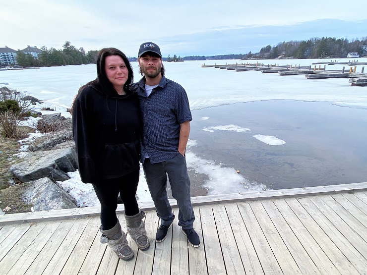
Ice conditions on local lakes have deteriorated with warmer temperatures and changing water levels and flows.
With rain, warmer temperatures and melting snow, banks and shorelines adjacent to water bodies can be extremely slippery and unstable. Residents and visitors should exercise caution while around waterbodies and maintain close supervision of children and pets.
MNRF also advises extreme caution when using forest access roads for outdoor activities as they may become seasonally inundated with water, are prone to washouts and may become impassible due to localized flooding.
Residents that may be affected by high water and flow conditions should take necessary action to protect/secure any vulnerable property in proximity to rivers and lakes and closely monitor developing conditions and regularly check for updated messages.
The ministry is closely monitoring the weather and developing watershed conditions. Further updates will be issued as appropriate.
- WATERSHED CONDITIONS STATEMENT – FLOOD OUTLOOK: gives early notice of the potential for flooding based on weather forecasts calling for heavy rain, snow melt, high winds or other conditions.
LEARN MORE
- Surface Water Monitoring Centre public webpage www.ontario.ca/page/surface-water-monitoring-centre
- Environment Canada bulletins: www. weather.gc.ca
- A close watch on local conditions and weather forecasts from Environment Canada is recommended.
EMAIL: news@muskokatoday.com
29 years of ‘Local Online Journalism’
Twitter: @muskokatoday, Facebook: mclairmont1
Leave comments at end of story
SUBSCRIBE for $25 by e-transferring to news@muskokatoday.com
Or go online to https://muskokatoday.com/subscriptions
