
MORE HEAVY RAINS THREAT TO LAKES, RIVERS
PARRY SOUND-MUSKOKA — Forecasted rain and thundershowers amounting to 30-65 mms Thursday and Friday has MNRF officials continuing their local “flood warning.”
It effects the Muskoka River, French River and Lower Pickerel River Watersheds, and will remain in place until Friday May 17.
They still advise everyone to be aware as lake/river levels remain high over the next week.
The ministry is closely monitoring the weather and developing watershed conditions. Further updates will be issued as appropriate.
A noon-hour release Thursday says rainfall amounts of 20 – 40 mm over most of southern and the southern half of northeast region are expected.
Current forecasts also indicate the potential for moderate thunderstorms to be embedded in this weather system, increasing rainfall accumulations by 10 – 25 mm or more.
They say a strong low pressure system moved into the North Bay and Sudbury areas overnight Wednesday, bringing significant rainfall affecting the Lake Nipissing and French River areas.
Rain is als forecast to continue into Thursday, tapering off Friday.
Forecasted precipitation in these areas will range from 30-50 mm. 30 km/h east winds gusting to 50 km/h are forecast for the Lake Nipissing area. With the current high water levels these winds could produce damaging wave action.
Description of Current Conditions
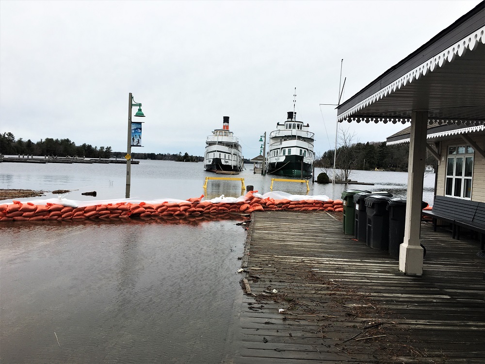
Water levels are beginning to recede in many lakes at this time, however flows in rivers will remain high as the water moves though the system.
It is expected that lower-lying portions of known flood-prone areas along lakes/rivers may be impacted to various degrees as lake/river levels remain high and this additional rain enters the system.
This rainfall event is expected to slow the rate of drop on the lakes within the watershed. Lakes that are currently stable or dropping slowly may see levels rise due to this event.
Residents along the French River may see a rise in water levels over the next week as a result from the forecasted precipitation, increased stormwater runoff or as a result of increased discharge from Lake Nipissing.
LEARN MORE
- Surface Water Monitoring Centre public webpage www.ontario.ca/flooding
- Environment Canada bulletins: www. weather.gc.ca
- A close watch on local conditions and weather forecasts from Environment Canada is recommended.