
Restricted fire zones removed for parts of Parry Sound 33
PARRY SOUND — Home and cottage owners in some areas affected by the Parry Sound 33 forest fire can now return to assess the damages done the past few weeks.
Due to recent precipitation and good progress being made in containing existing forest fires, the Ministry of Natural Resources and Forestry has removed the Restricted Fire Zone for some areas of the Northeast Region effective noon Friday.
Officials made the announcement late Friday afternoon, in a release.
However, the zones still affected include areas north of Rosseau, northwest to Espanola and Cartier, over to the Quebec border including Temagami and Mattawa north of the Mattawa River.
This includes Parry Sound, Burk’s Falls, Powassan, North Bay and Greater Sudbury.
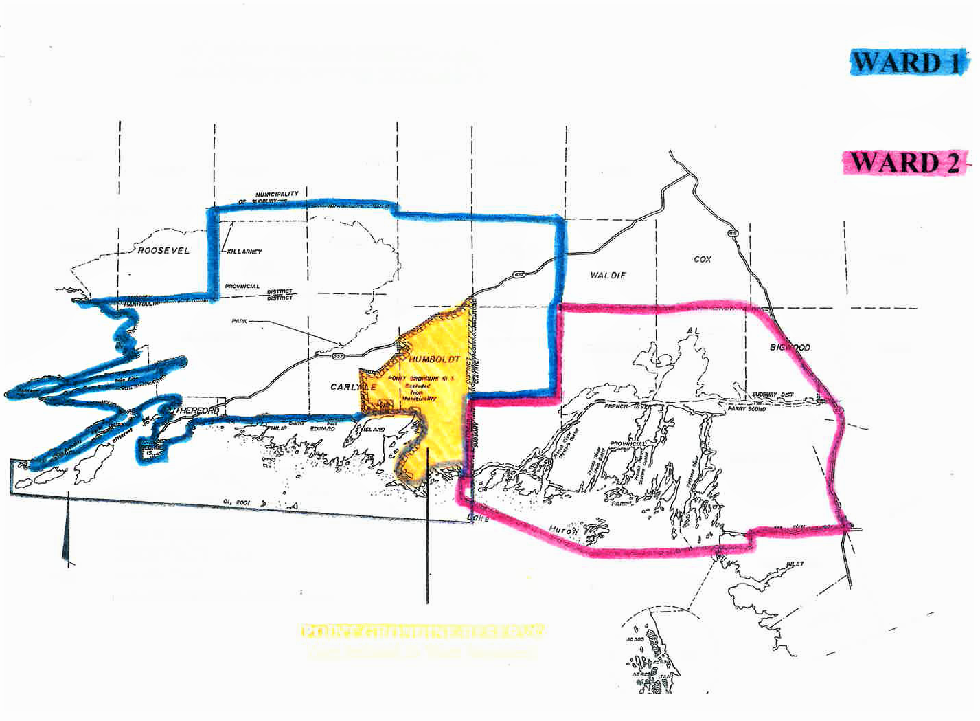
For a visual representation of the affected areas please visit our interactive map Ontario.ca/forestfire.
If you live in an area outside the adjusted Restricted Fire Zone, be sure before you burn to check with your local municipality to ensure there’s no fire ban issued in your area. We’d also like to remind the public to take extra care when having a campfire and to follow the safety tips listed at Ontario.ca/forestfire.
Travel Restrictions Still in Place for Some Areas of the Northeast
In order to ensure MNRF and emergency officials are able to continue fire suppression operations in areas affected by large forest fires, travel restrictions remain in place near the Parry Sound 33, North Bay 72 and Pembroke 6 forest fires.
These restrictions are in place to ensure public safety and the safety of emergency personnel working in the affected areas. Although some restrictions have been removed, others remain in place.
For information on travel restrictions and travel permits, please call 1-888-220-7242. For a visual representation of the affected areas please visit Ontario.ca/forestfire.
Here are the details associated with the newly updated travel restrictions for areas near Parry Sound 33:
- Water ways
All travel and use of the Pickerel River west of Hwy. 69 to Bear Island and Key River west of Hwy. 69 to Georgian Bay including all access from Georgian Bay on those water ways entering the fire perimeter or adjacent to it on its northern boundary, is prohibited during the daylight hours of 8:00 am to 8:00 pm unless authorized by travel permit issued by Parry Sound District or Sudbury District Ministry of Natural Resources and Forestry (MNRF).
- Roadways
All road access west of Hwy. 69 south of Pickerel River in Mowat Township and the unsurveyed lands to the southern border of Henvey Inlet 2 Indian Reserve is prohibited unless authorized by travel permit issued by Parry Sound District or Sudbury District Ministry of Natural Resources and Forestry (MNRF).
- Fire Perimeter
There is no access permitted within the fire perimeter as shown on the map unless authorized by travel permit issued by Parry Sound District or Sudbury District Ministry of Natural Resources and Forestry (MNRF).
Any person found violating this order is subject to enforcement action.
This order is in effect as of 10 a.m. EST on Friday, Aug. 10, 2018, and will remain in place until such time as the order is revoked.