")
High winds Thursday increase Parry Sound 33 to 11,185 hectares
PARRY SOUND — High winds have Parry Sound 33 growing, but fire crews “continue to make excellent progress in critical areas,” says the Ministry of Natural Resources and Forestry.
In their latest update at the end of Thursday, they said this fire has been remapped at 11,185 hectares.
By the evening of Aug. 2, there were 47 active forest fires across the northeast.
Of these, including Parry Sound 33 there are 21 not yet under control, 26 are either being held, under control or being observed.
There were no new fires discovered Thursday and one fire was extinguished.
Even with the winds, the fire remains approximately 5 kilometers away from highway 69 and less than one kilometer south of the Pickerel River near the CN trestle bridge on the west side of highway 69.
The MNRF called Thursday “another great day for crews working and laying hose around the perimeter of the fire.”
They said crews continue to make excellent progress in critical areas, especially along the northeast side of the fire near the Pickerel River.
Higher winds out of the southwest Thursday tested the northeast perimeter, but the hose lines held and kept the fire’s spread in check. It is estimated that most of the east flank has been tied with hose line.
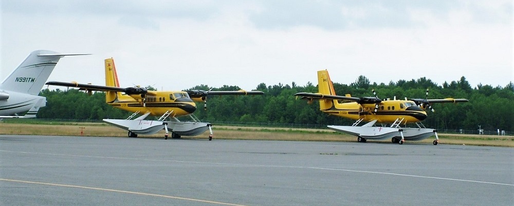
Waterbombers and helicopters worked in conjunction with the crews to help tie off areas of activity.
The fire remains south of Key Harbour, and north of the Henvey Inlet waterway. Crews are working on perimeter containment on the southeast side of the fire north of Henvey Inlet.
The west side of the fire remains unchanged; the fire remained quiet in the vicinity of Fox Island on the western perimeter. Crews continue suppression along the western flank of the fire.
Structural protection continues, they said in reference to residences, cabins and businesses.
Friday’s weather called for another day of southwesterly winds.
Earlier this week, the Municipality of Killarney issued an evacuation order for residents in the areas of Travers, Allen, Struthers, Kilpatrick, Bigwood (including Hartley Bay Road), a portion of Mowat, the Unsurveyed Area, 14 Mile Island and French River Provincial Park. For information, call the municipality at 705-287-2424.
Earlier this week, the Municipality of French River issued an Evacuation Alert for the Alban area, west of the high powered hydro lines on Highway 64. For more information, call the municipality at 705-898-2294 or visit www.frenchriver.ca
Smoke concerns
Smoke may be noted in the community of Fort Severn in the Far North, due to 9 active fires to the south and west of the community.
Smoke from large fires across the region will be visible until fire activity is reduced and weather patterns change.
AFFES is reminding the public that if they do see flames or smoke, please report it, and stay away from the area in the interest of public safety.
If you have questions or concerns about smoke and your health, please contact Tele Health Ontario at 1-866-797-0000.
Meanwhile, Incident Management Teams (IMTs) are in place across the region and are also managing priority fires in the following areas:
- Lady Evelyn Cluster
- Pembroke Cluster
- Parry Sound 33
- Lady Evelyn Fire Cluster
North Bay 72:
Received a significant amount of precipitation Thursday.
With the favourable weather, crews were able to continue consolidating control lines.
Infrared scanning is being utilized on the fires in this cluster to help find hot spots near fire perimeters.
Pembroke Fire Cluster
Crews continue to make good progress on all fires. Pembroke 5 and Pembroke 7 are under control. As of 3:00pm today, Algonquin Park 11 is now under control Pembroke 6 is being held.
Resources From Out of Province
Ontario is receiving support from across Canada, the United States and Mexico to assist with the fire situation. A total of 543 firefighters and support staff are currently in the province.
Alberta is providing personnel, equipment and aircraft.
British Columbia is providing equipment.
Newfoundland is providing personnel and equipment.
Northwest Territories is providing personnel, equipment and aircraft.
Nova Scotia is providing equipment.
Prince Edward Island is providing personnel.
New Brunswick is providing personnel.
Saskatchewan is providing personnel and equipment.
Quebec is providing aircraft.
Minnesota, USA, is providing personnel.
Wisconsin, USA, is providing personnel.
Mexico is providing personnel.
Parks Canada is providing personnel.
Additional personnel and equipment are expected to arrive in the province in the coming days.
RESTRICTED FIRE ZONES
Restricted fire zone expanded to additional parts of the Northeast fire region (southern region)
Due to the extreme fire hazard, several recent periods of heavy lightning, little precipitation and increased forest fire activity, the Ministry of Natural Resources and Forestry has expanded the Restricted Fire Zone to include parts of the Southern Region of Ontario as outlined on the interactive map.
This expansion of the current Restricted Fire Zone will be in effect as of 12:01 AM on July 24, and will remain in place until further notice.
The expanded Restricted Fire Zone now includes Zones 24, 25, & 26 which would include areas south of the French River, including Parry Sound, from Georgian Bay east to the Quebec border, including Algonquin Provincial Park and from Renfrew north to Mattawa.
To date, the current MNRF Restricted Fire Zone covers Zones 16, 17, 18, 19, 20, 21, 24, 25, & 26 and restrictions will remain in place until further notice. See the fire map for an outline of the zones covered.
During a Restricted Fire Zone, the use of open fires – such as campfires, or burning of brush or debris is restricted. Failure to comply could result in fines of up to $25,000 and three months in jail, as well as financial responsibility for the costs incurred in fighting a forest fire.
Portable gas or propane stoves are permitted for use for cooking or warmth, though they should be closely monitored. Portable charcoal BBQs and Hibachis are not permitted unless within 100 metres of a dwelling, or within an organized campground.
Commercial campground operators may allow their guests to enjoy campfires during a Restricted Fire Zone period provided they meet certain conditions in the Outdoor Fires Regulation (207/96).
The Restricted Fire Zone is a temporary measure to reduce the number of new human-caused wildfires as the Aviation Forest Fire and Emergency Services branch of the OMNRF expects the elevated forest fire hazard to continue into the foreseeable future.
Fire numbers and online information
To report a forest fire located north of the French and Mattawa rivers, please dial 310-FIRE
To report a forest fire located south of the French or Mattawa rivers, please dial 911.
Follow us on Twitter: @ONForestFires / @ONFeudeforêt
* With files by the AFFES communications team issued at 23:40 Aug. 2, 2018