HOLD ON TO YOUR HAT, ICY WIND, SNOW TODAY WILL BRING DOWN TREES LOOSENED BY WEEKEND STORM
Mark Clairmont | MuskokaTODAY.com
MUSKOKA — Brace yourself this afternoon.
And not just Trump’s tarriffs.
Because here we go again. Keep those chainsaws handy Wednesday — and into Thursday when a warm spell follows.
As importantly, look way up … and keep your eyes peeled up for falling branches.
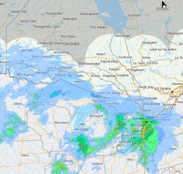
Because winds and freezing rain this afternoon are expected to bring down some remaining trees and branches that were loosened with the first ice storm Friday to Monday.
Snow had already begun at 2 p.m.
Geoff Coulson, of Environment Canada, warns 50 km/h winds from the SE will blow in along with about 5 mms of icy snow and rain by suppertime.
He said in a phone call today that’s on top of 20 to 25 mms (an inch) of ice that landed on trees, homes and power lines across Muskoka on the weekend. (Measurements are derived from observer volunteers and online studies of pictures and damage.)
That was the worst similar-sized storm here since 2013.
Compare that to the 80 mms that hit Quebec and Eastern Ontario Jan. 4-10 in 1998, Coulson said. That was made worse as freezing temperatures remained for a week.
For the latest on power outages, Coulson suggests this link Ontario Power Outages Map


Environment Canada report today:
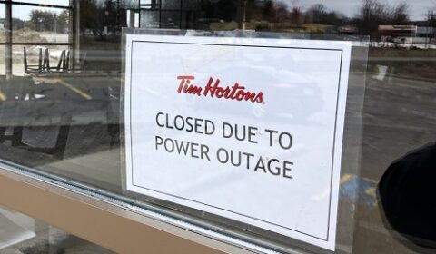
According to Environment Canada the March 28-30 storm brought widespread impacts across southern and eastern Ontario, leaving hundreds of thousands without power.
States of emergency were declared in Orillia, Peterborough, Muskoka, and Oro-Medonte.
Ice accretion (sic) totals included 25 mm in Lindsay, 20 mm in Peterborough, and 19 mm in Orillia.
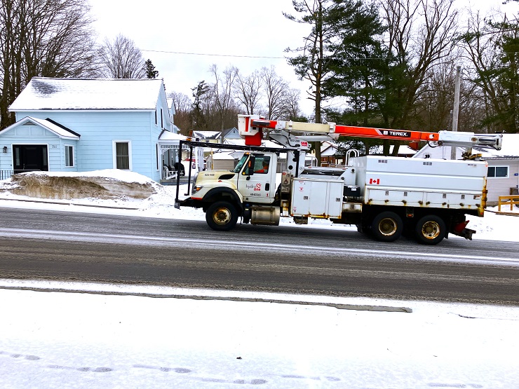
Hydro One crews restored more than 360,000 outages over the weekend, but over 390,000 customers remained without power as of Monday morning.
Nearly 100 collisions were reported in eastern Ontario, including a fatal crash on Highway 138 and a serious collision on Highway 416 that sent seven people to hospital. Schools in Muskoka, Peterborough, Simcoe, and Kawartha Lakes were closed some up to Wednesday due to unsafe conditions.
As for the month ahead, April’s temperature guidance continues to indicate a likelihood of warmer than normal conditions, but only for southern Ontario and with the most confidence near Lake Erie.
Similarly, precipitation guidance shows a greater than normal likelihood of above normal amounts over the south especially the southwest.
EMAIL: news@muskokatoday.com
30 years of TRUSTED ‘Local Online Journalism’
SINCE MAY 20, 1994
Twitter: @muskokatoday, Facebook: mclairmont1
SUBSCRIBE for $30 by e-transferring to news@muskokatoday.com
Mail cheque to MuskokaTODAY.com Box 34 Gravenhurst, Ont. P1P 1T5
And include your email address to get stories sent to your inbox
