WHAT THE … GPS APP LOCATES LOST HIKERS IN ORO-MEDONTE RIGHT TO SQUARE FOOT
ORO-MEDONTE — A GPS tracking app helped a pair of hikers out of the woods Saturday.
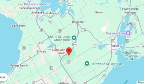
Police in Orillia were able to track the pair in Copeland Forest, just south of Orillia in Hillsdale, after they called 911 January 25.
Just after 6 p.m. officers were dispatched when the two people lost.
They say numerous officers, including the Central Region Emergency Response Team (ERT) and Canine Unit, began heading to the location of the park while the OPP’s Provincial Communications Centre (PCC) continued communicating with the lost hikers.
The hikers were able to utilize “what3words,” an online application that provided a precise location.
The information was provided to first responders who were able to quickly and accurately locate the parties and transport them back to their vehicle, where they were assessed by Simcoe County Paramedics.
No injuries were reported by either.

The what3words app is a free tool emergency services are using to help in situations like this.
It has divided the world into a grid of 10-foot squares and given each square a unique combination of three random words: a what3words address.
For example, tattoos.tomorrows.regime will take you to the Orillia OPP detachment.
The app is free to download and works offline, making it useful for areas with limited data connection.
Police say all persons who enjoy engaging in winter activities should consider utilizing what3words for their next adventure.
